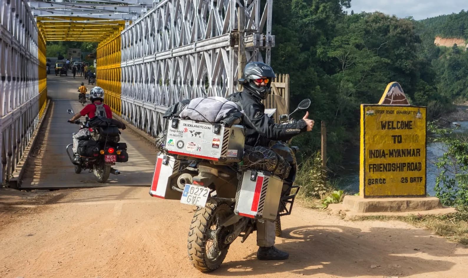
Planning is part of the trip.
Draw the ride you have been thinking about, then take it with you.
The planner
Draw it, send it, show it.
Saves you time
A route takes minutes, and you decide on each segment: fast, with curves, or offroad.
High quality maps
We are selective about the maps we use, so you can read the roads and the tracks, dirt drawn as dirt, before you ride them.
On the bike in a minute
The ride lands on your GPS ready to go, in the format it wants.
Easy to share
We are in a few riding groups ourselves, so sending a route is one link, and nobody needs an account to open it.
Every screen, the whole app
Laptop, tablet or phone: each view is the whole app, without cut-down features.
Your rides, wherever you are
Every ride you have planned, on whatever you pick up next.
The story behind it
Every ride starts on a map.
I spend countless hours planning my routes. That effort now goes into making planning enjoyable, and into connecting the riders who share it.

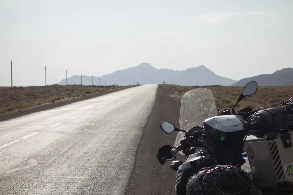
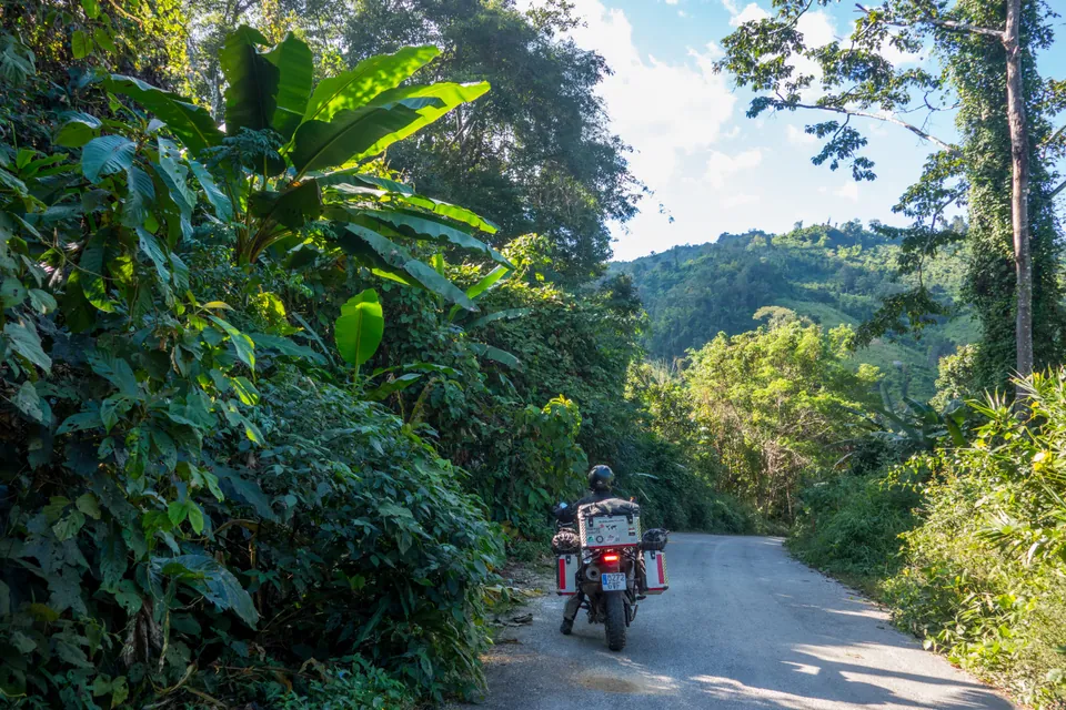
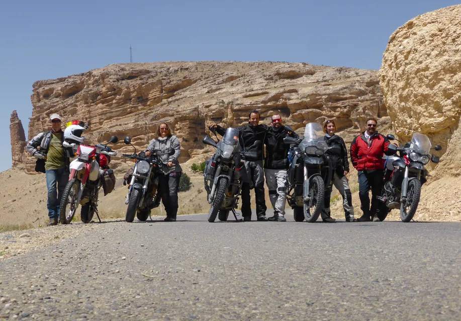
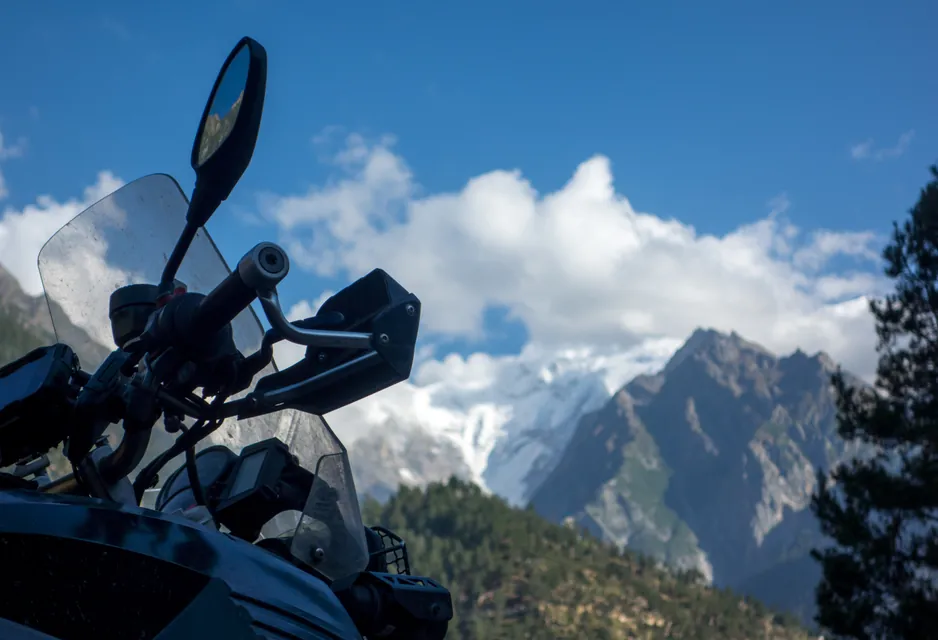
Who makes it
Javier Alvear
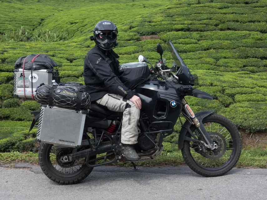
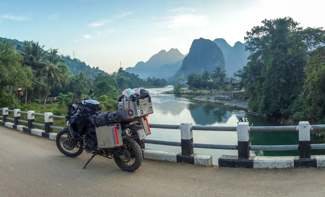
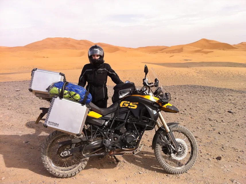
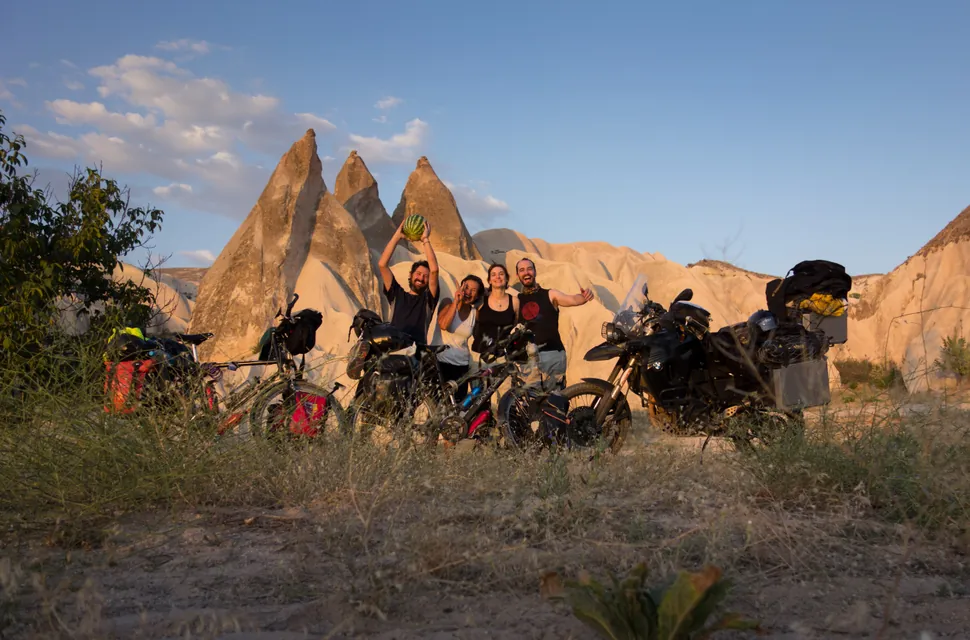
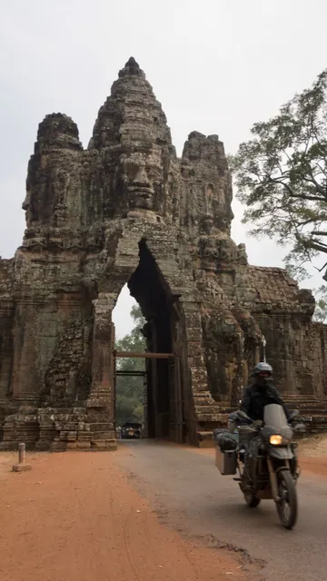
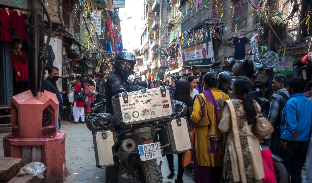
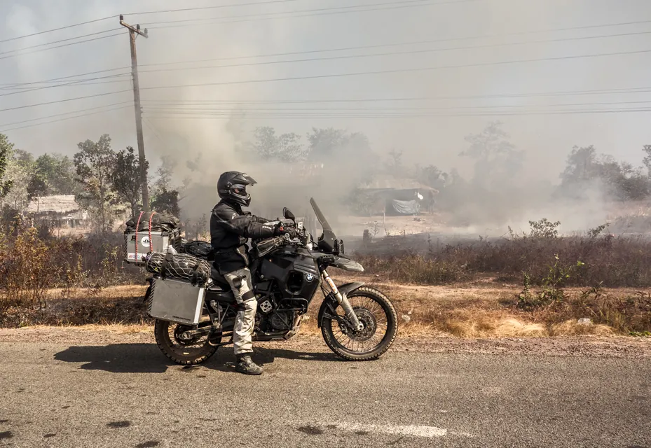
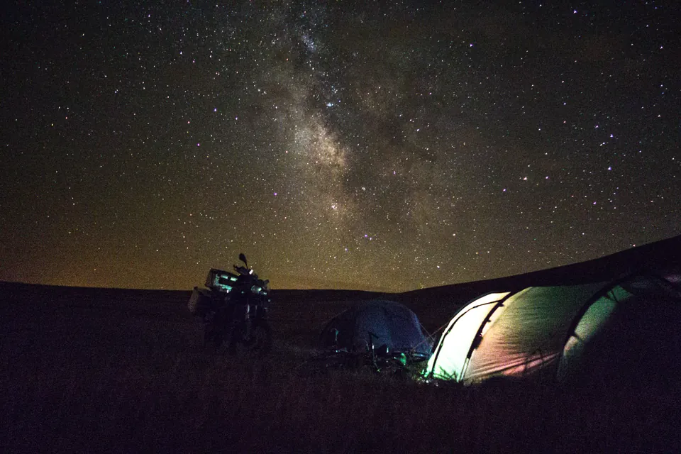
I am a Spanish-Australian product designer and motorcycle traveller. Bike trips have shaped my life: my wife and I rode from Madrid to Sydney, and we live here now with our two daughters.
Somewhere in those years the planning became an obsession of its own. Cartorider started last year, before a trip to Tasmania, as an easier way to draw and keep my own routes. It has grown since, and it is open now to any rider who wants it.
It is a side project, built on my own, without a team. If you have a question or something to tell me, write to me and I will get back to you.
Ride safe!
The direction
Rider first, every time.
- Motorcycle routing
- The main effort is to narrow down the routing experience to motorcycle riding.
- As open as possible
- Easy to import and export routes, and no artificial limits on the routes you own.
- Focus on the hard challenges
- I embrace the navigation apps, and keep working on the tough GPS devices.
01
02
03